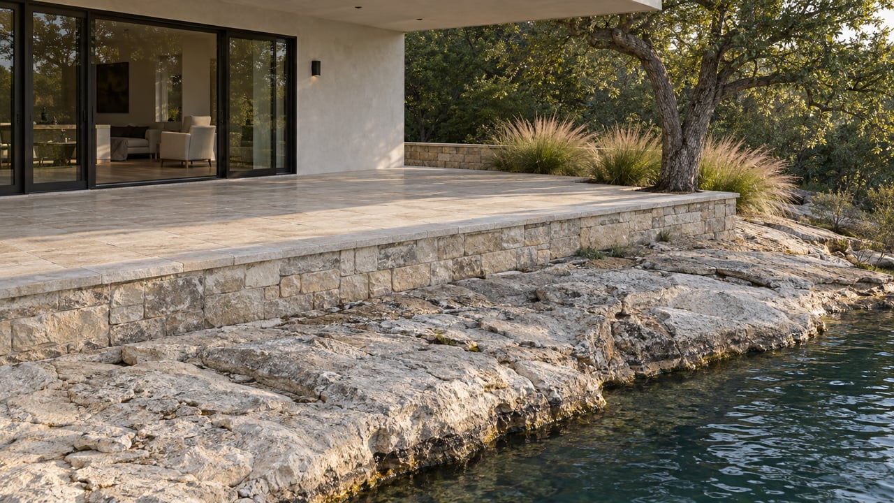
Stand at the boat ramp at Mansfield Dam Park on a Saturday morning this month and you'll see the same thing lake regulars have been watching all summer: a water line a few feet lower than it was in July, but nowhere close to where it sat two years ago. The lake is neither the reservoir that flooded coves and closed ramps during seven years of drought, nor the one that briefly touched its highest mark since 2019. It's somewhere in between, and moving.
That in-between state is the part nobody's written about yet. The story everyone already knows is that Lake Travis reached full pool, 681 feet above sea level, for the first time since July 2019, after repeated rounds of heavy Hill Country rain pushed floodwater through the Highland Lakes chain in mid-July. What's less discussed is that the lake has already given back several of those feet, and the habits residents relearned in July don't automatically carry into a fall weekend.
The Numbers Since July
Two readings tell the actual story better than the word "full" does on its own.
| Date | Level | Context |
|---|---|---|
| Mid-July 2026 | ~679 to 681 feet | Reached full pool for the first time since 2019 |
| September 16, 2026 | 676.33 feet | Down roughly 3.4 feet over the prior 30 days |
| September 18, 2026 | 91.7 percent full | Per state reservoir data |
A five-foot drop sounds dramatic until you compare it to where the lake sat before the July rains. In March 2026, Lake Travis was reported at 665.75 feet, with state projections showing further decline under normal or dry conditions. September's 676 feet is still more than ten feet above that March low. The lake gave back some of its gain, but it's still living in territory most of the last seven years didn't touch.
Why the Ramps Are Still Fine, For Now
Travis County Parks operates public boat ramps around the lake with minimum water levels that range from as low as 492 feet up to 667 feet, depending on the ramp. At 676 feet, every ramp on that list clears its threshold with room to spare. That wasn't true seven months ago. In March, with the lake at 665.75 feet, some of those same ramps sat within a couple of feet of their cutoff.
For anyone planning a fall weekend on the water, the ramp itself isn't the variable to worry about right now. The cove or anchorage you're heading to is a different question, and that's where the July rise and the September pullback start to matter in different ways.
What Reopened in July Isn't Behaving the Same Way in September
During the driest years, a handful of spots kept working simply because they're deep enough to work at almost any level. Devil's Cove stayed viable through the drought for that reason. So did Starnes Island, which absorbed the overflow after the City of Jonestown redirected tour boat traffic there back in 2011. Those two didn't need July's rain to function.
What the July rise actually changed were the smaller anchorages, the ones shallow enough that a foot or two of water decides whether they're usable at all. Those came back in July along with the more dramatic landmarks. Sandbars that had sat exposed for years went under. So did "Sometimes Island," the low-water landmark near Mansfield Dam that only shows itself when the lake drops into the 665 to 670 foot range. At 676 feet in September, the island stays submerged, but the margin is closer than it looks. A dry fall and winter, which is typical for the region, could bring the lake back toward that threshold by the time spring conversations about the lake start again.
Carl Balzen, a scuba instructor and lifelong Austin resident, watched the July rise happen underwater in real time and put it simply: "I like the lake full a lot better than I do really low." Divers noticed the same shift boaters did. More depth meant easier entries, more accessible dive sites, and different visibility once the water settled.
The practical takeaway for anyone planning a fall outing is the same one that applied back in July: don't assume the depth chart in your head from a month or a season ago is still accurate. The coves that were unusable in 2022 and 2023 are open now, but "open" at 676 feet in September isn't identical to "open" at 681 feet in July, and it won't be identical to whatever the lake reads in December either.
What's Actually New at the Marinas This Month
Away from the water line, the dockside rotation around the lake has shifted enough since last summer to be worth noting.
Canyon Grille at Rough Hollow reopened this spring after a brief closure, giving the Lakeway side of the lake back one of its regular dockside stops. On the north shore, Northshore Marina runs a seasonal calendar that shifts with the water, and its fall event, Docktoberfest, marks the season with bratwurst, pretzels, and dockside live music, the kind of gathering that only makes sense once the heat breaks and boaters start treating the marina as a destination again rather than just a launch point. On the south shore, Hurst Harbor Marina sits in the more protected water of Hurst Creek Cove, and the operation there has said its team watches levels closely heading into each new season rather than treating the lake as static.
None of these are new discoveries. They're the same names regulars have used for years. What's changed is which ones matter most right now, with the lake receding from a seven-year high rather than climbing out of a seven-year low.
The Season Ahead
Fall on Lake Travis typically means less rain, more evaporation relative to inflow, and a slow give-back of whatever the spring and summer rains provided. That pattern is already visible in the 30-day trend heading into late September. It doesn't mean a return to drought-era numbers is imminent. It means the lake residents are boating on this month is a temporary version of itself, not a new permanent baseline, and the version in November will look different again.
Anyone with a dock, a slip, or a standing Saturday plan on this lake has spent the last two months getting reacquainted with water they hadn't seen in years. The smarter habit for the next few months is checking the level again before assuming last month's plan still holds.
If you're weighing what a shift like this means for a property on the water, whether it's dock access, shoreline change, or how a fall showing looks compared to a summer one, Lewis Group knows this lake well enough to walk through it with you.